-
Notifications
You must be signed in to change notification settings - Fork 9
Binary
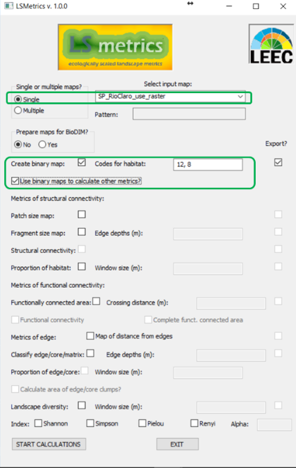
Most indices caluculated by LSMetrics are currently based on binary class (habitat/non-habitat) raster maps as input. Gladly, you can automatically set calculations for several rasters as once (acho que essa frase pode ir na parte de sigle or multiple maps). If your map(s) are already classified this way (binary), you can use them straightforwardly as input to calculate metrics. If not, first you should select Create binary map and tell the app which pixel unique codes correspond to habitat. Then, you can use the resulting map as input to calculate landscape metrics by clicking in Use binary maps to calculate other metrics . When choosing Export, the outputs of calculations will be exported to a file chosen by the user (essa informacao poderia estar contida na pagina do RunGUI tb... deixando claro que o diretorio excolhido so vai salvar os mapas quando uma opcao export estiver checada):

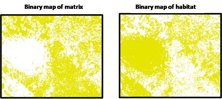
Binary maps are useful to investigate classes of interest and their metrics. See examples below:
This is an example of land use map that was transformed in a binary habitat map from specific codes for habitat classes (values from 15 to 20).
/images/land_use_to_binary.png
A classic representation of binary maps. In the first, "1" (yellow) values represent the matrix, on the second the "1" (yellow) values represent the habitat areas.

