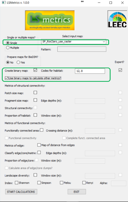
Binary
Most indices caluculated by LSMetrics are currently based on binary class (habitat/non-habitat) raster maps as input. If your map(s) are already classified this way (binary), you can use them straightforwardly as input to calculate metrics. If not, first you should select Create binary map and tell the app which pixel unique codes correspond to habitat. Then, you can use the resulting map as input to calculate landscape metrics by clicking in Use binary maps to calculate other metrics.
PS: If you select the option Use binary maps to calculate other metrics, you can already choose the metrics you want to calculate and generate all of them in the same run. If, instead, you create the binary map alone, you should then select the resulting map to then calculate the other metrics (in this case, unselect this option).
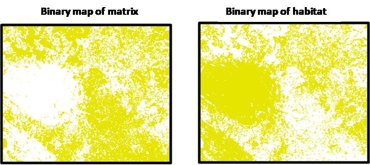
Binary maps are useful to investigate classes of interest and their metrics. See examples below:
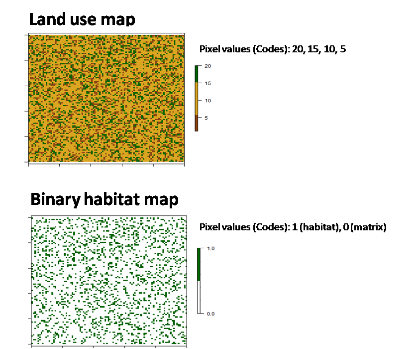
This is an example of land use map that was transformed in a binary habitat map from specific codes for habitat classes (values from 15 to 20).
Below you may find another classic representation of binary maps. In the first, "1" (yellow) values represent the matrix, on the second the "1" (yellow) values represent the habitat areas.