Hello there! I’m 3D Survey Collection (Blender Add-on), an open source collection of tools to improve the work-flow of a 3D survey (terrestrial or UAV photogrammetry).
I am under constant development by Emanuel Demetrescu during his research activities at the CNR-ITABC (Italian National Council for Research, Institute for Technologies Appplied to Cultural Heritage) within the VHLab (Virtual Heritage Laboratory).
Let me introduce the tools with a short list.
- Importers panel
- Exporters panel
- Quick utils panel
- Photogrammetry panel
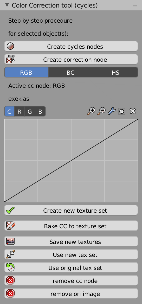
- Color Correction panel
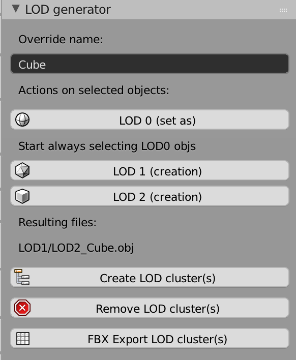
- LOD Generator panel
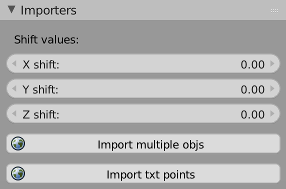
The Importers panel allows to
- import multiple objs at once (with correct orientation), for instance a bunch of models made in Photoscan, Meshroom or Zephir 3D.
- import points as empty objects from a txt file, for instance a topographic survey made with a total station or DGPS. Optionally I can shift the values of the world coordinates (they are usually too big to be correctly managed by a computer graphic software like Blender and it is a good practice to shift them)
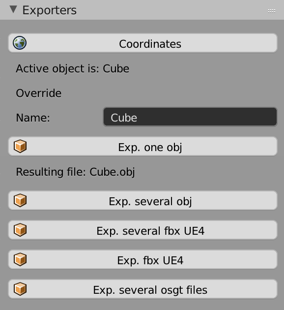
The Exporters panel allows to
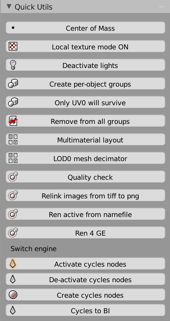
The Quick Utils panel allows to
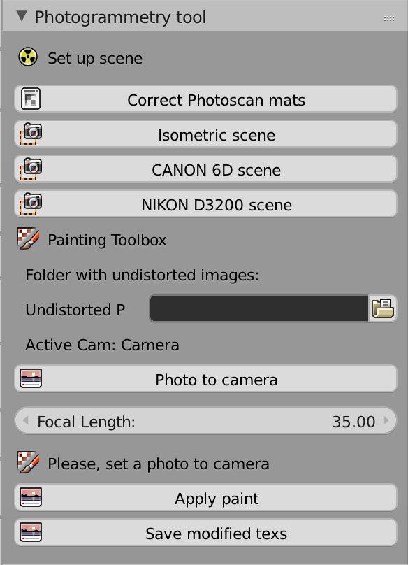
The Photogrammetry panel allows to
The Color correction panel allows to
The Color correction panel allows to
You can link this github repo 3DSC Website or cite
@misc{demetrescu_3d_2018,
title = {3D {Survey} {Collection}},
url = {https://github.com/zalmoxes-laran/BlenderLandscape},
author = {Demetrescu, Emanuel},
year = {2018}
}
If something goes wrong with me or if you have comments or suggestions, please report a feedback to emanuel.demetrescu@gmail.com
